After 30 years of university teaching and administration, Dr. John Wm. and Alice Ann Ridge searched out the location and extensive history of the Yellowstone Trail in their retirement, spending more than two (2) DECADES doing research and gathering evidence.
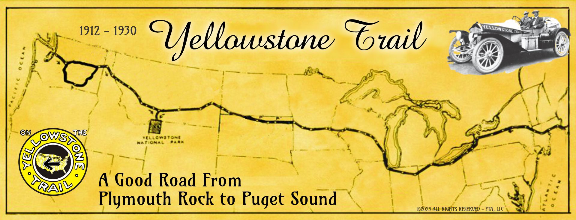
The Ridge’s created unique maps showing the exact location of the Yellowstone Trail to follow!
Each State has: Mile-by-Mile Info ~ History Bits ~ Trail Tales ~ +More!
We share Ridge’s information and welcome you to Travel the Yellowstone Trail!
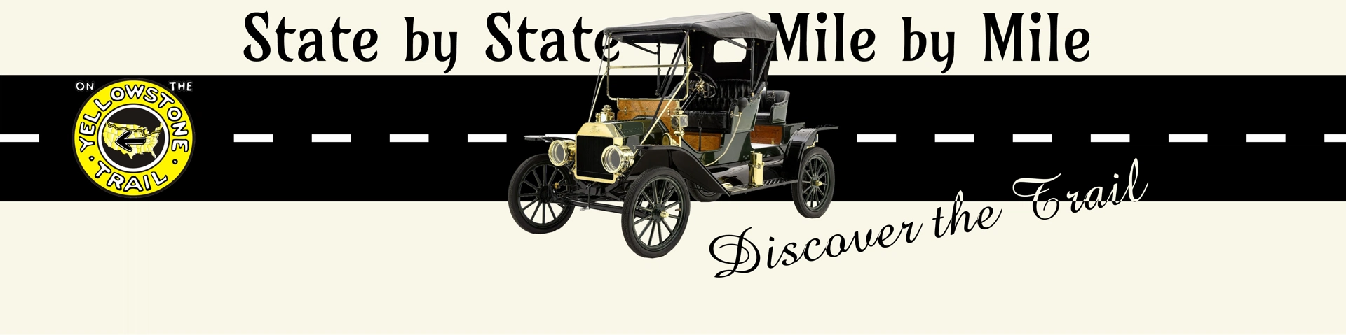
Whether traveling by auto or armchair, you will be guided along that 1912-1930 route known internationally as The Yellowstone Trail!
Continue by selecting a State from the index above.
Alice Ann Ridge
Dr. John Wm. Ridge
NOTE: YTA State Mile Marker numbers (i.e. WA-000.0) correspond with YTA State Maps. Total distance of the Yellowstone Trail is approximately 3,600 miles.
Click the Ford Model-T at the top of all the Mile-by-Mile State pages to return here.
While Whitman’s “road” is, literally, a path in the woods, it is often seen, allegorically, as a personal path through life, or even the attainment of democracy.
So come ride with us!
We will search out the many places where travel is still possible along a less used road.
Where there is still a kind of “sense of place” one feels while driving a two-lane road.
Motorists seem to be more aware of their surroundings.
They can slow down or stop to experience a scene.
They can notice cows up close and personal.
They might see a Burma Shave sign of yesteryear.
They can talk with locals.
There may be a calming familiarity in a two-lane road.
Memories are allowed to happen here, so come ride with us on the Yellowstone Trail!
We start in Pioneer Square, Seattle, and drive our way east, select a State to begin.